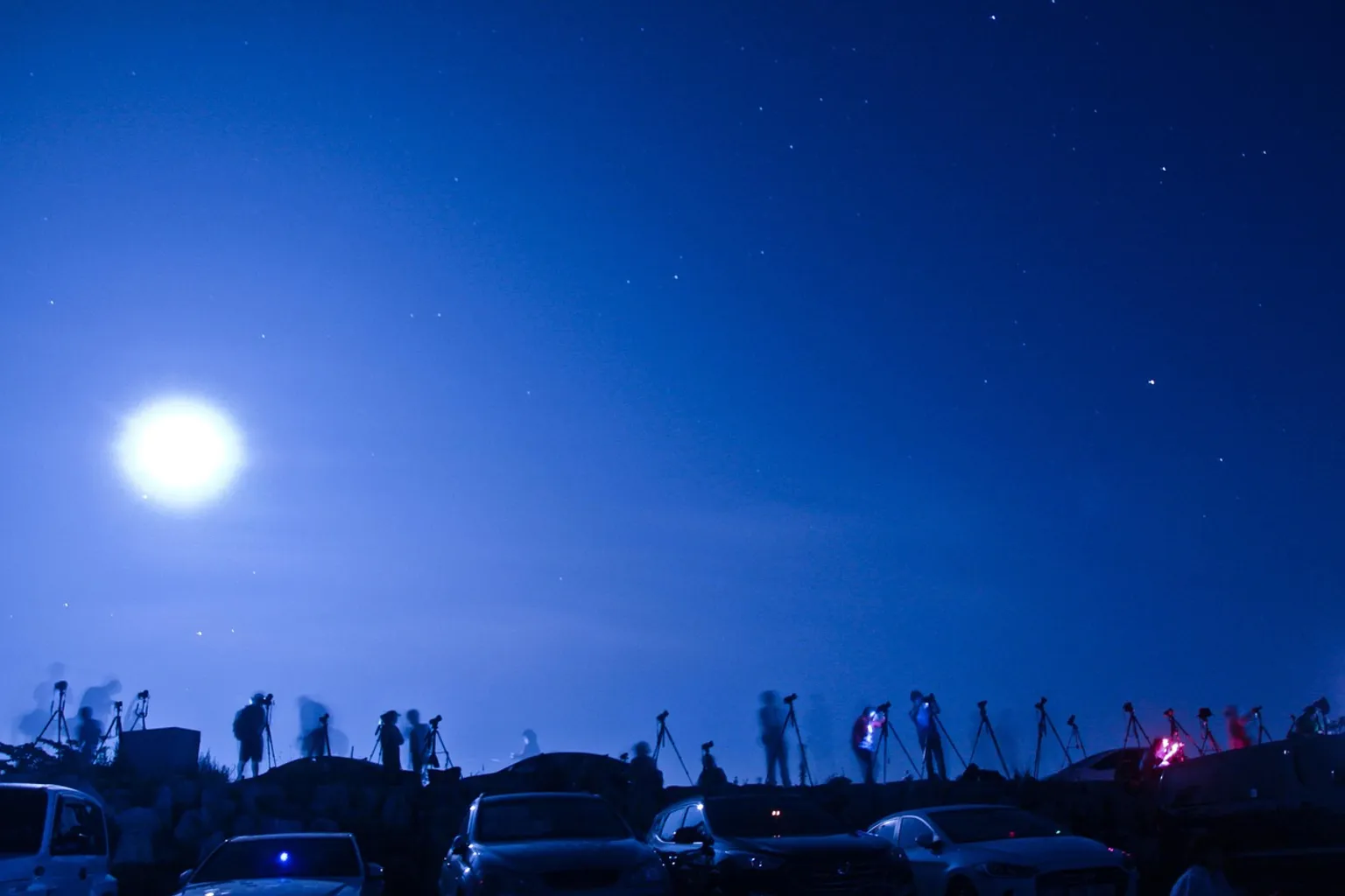
The observatory occupies the 73rd floor of Columbia Center, more than 900 feet above downtown, high enough to place the city’s streets, water, mountains, and vegetation into one continuous field of view.
Tickets and prices
Sky View Observatory
I
Save
Box office and online booking
- Adult USD27
USD27
Official websiteII
Our pick · entry ticket
Entry ticket — 1-day validity
This 1-day entry ticket allows you to ascend to the 73rd floor for views of the skyline.
USD20.89
Check availabilityThe ascent takes approximately 70 seconds from the building’s first-floor Atrium. At the top, the observatory offers a 360-degree panorama that includes Mount Rainier, Elliott Bay, the Space Needle, and the Cascade and Olympic Mountains. The view is expansive, but it is not empty scenery. From this height, Seattle reads as a compressed ecological system: estuary, urban surface, forested slopes, snowpack, and atmospheric haze joined by roads, roofs, ports, and power lines.
The practical details matter. Ticket availability, seasonal hours, private events, admission categories, and the final elevator departure can all shape the visit. A little planning prevents a long trip downtown from ending at the wrong side of a closing window.
Ascending the Columbia Center: the 900-foot perspective
Columbia Center rises to 967 feet and contains 76 stories. Completed in 1985 and designed by Chester L. Lindsey Architects, it remains one of the defining vertical structures in Seattle’s downtown core. Sky View Observatory is on the 73rd floor, at an observatory height of approximately 902 feet.
That distinction is useful when planning the visit. The observatory is not on the roof and is not the building’s top floor. It is a dedicated public viewing space near the upper reaches of the tower, with the structure continuing above it.
The elevator ride is brief—about 70 seconds—but the speed changes the mental geography of the building. The Atrium and the street-level downtown grid disappear almost immediately. At the observatory, the city is no longer read primarily as a sequence of blocks. It becomes a set of surfaces and transitions:
- Downtown’s dense built fabric gives way to the open water of Elliott Bay.
- The bay connects the city to the wider Salish Sea system, where tides, shipping, shore engineering, and estuarine habitat overlap.
- Beyond the urban edge, the Olympic Mountains rise across the water, while the Cascades occupy the eastern horizon.
- Mount Rainier appears as a distinct volcanic massif when visibility permits, its snow and ice sensitive to the same warming atmosphere that shapes Seattle’s rainfall and summer dryness.
- Green space appears not as one continuous forest but as a fragmented network of parks, street trees, ravines, planted corridors, and remnant habitat.
The observatory’s value is partly geographic. Seattle can be difficult to understand from ground level because the streets repeatedly conceal the relationships between water, elevation, and development. From the 73rd floor, the city’s topography becomes more apparent. The view does not simplify the landscape so much as expose its competing layers.
From 902 feet, Seattle’s urban canopy is not a backdrop. It is a fragmented ecological surface pressed between mountain weather, tidal water, and human infrastructure.
Sky View Observatory tickets and the available options
The simplest way to approach Sky View Observatory tickets is to separate admission from the timing of the visit. General admission is the core option for visitors who want access to the viewing deck, while ticket listings may also include different booking formats or tour arrangements depending on availability.
Prices change, and the exact amount shown at the time of booking should take precedence over older guide information. The published ticket structure generally includes:
| Ticket consideration | What visitors should expect |
|---|---|
| General admission | Standard access to the observatory and its panoramic viewing areas |
| Senior admission | A discounted category may be available for eligible visitors |
| Child admission | Reduced admission is generally available for children aged 5–13 |
| Children under 16 | Must be accompanied by an adult |
| Booking availability | Tickets may be offered for current or near-future visit dates, subject to capacity and operating changes |
| Food and drink | Sky View Café and Bar services are available within the observatory experience, with service ending before the observatory closes |
Searches for “Sky View Observatory Seattle tickets price” often produce figures copied from older listings. That is a poor basis for planning because admission costs can change more quickly than an evergreen visitor guide. Treat the displayed price as live information, not as a fixed landmark.
The same applies to ticket availability. Some booking platforms show entry for today or tomorrow, while other dates may be limited by demand, private functions, seasonal scheduling, or changes to the operating calendar. If the visit is tied to a flight, cruise departure, wedding, or other fixed commitment, booking ahead is safer than relying on same-day access.
The ticket itself is only one part of the decision. A clear day can make the observatory worthwhile even for a short visit, while low cloud or heavy haze may reduce the long-distance panorama. Seattle weather is not a minor variable here. Visibility changes the experience at a scale of hundreds of miles.
Planning around hours, closures, and the final elevator
Exact year-round daily hours are not constant. Operating schedules can fluctuate seasonally, and private events may result in specific closures or altered access. Visitors should confirm the schedule for the intended date rather than assuming that a standard opening pattern applies throughout the year.
There is one operational rule that deserves particular attention: ticket sales and the last elevator to the observatory stop one hour before closing. Arriving close to the posted closing time is therefore not equivalent to arriving during the final hour of admission. The usable public window ends earlier.
Food and drink service also closes before the observatory itself. Depending on the day, café and bar service may stop 30 to 60 minutes before closing. Anyone planning to combine the panorama with a drink or meal should avoid treating the last part of the operating day as guaranteed café time.
A practical visit sequence looks like this:
1. Check the date-specific operating schedule. Look for seasonal hours, private-event closures, and any special restrictions.
2. Confirm the ticket category. If travelling with children or eligible seniors, make sure the booking reflects the correct admission type.
3. Work backward from the final elevator. The last ride up ends one hour before closing, so build in time for downtown arrival, ticket processing, and the elevator queue.
4. Allow weather to influence the timing. A flexible booking or later decision may be useful when the main goal is seeing Mount Rainier or the distant mountain ranges.
5. Leave room for the view to change. The first panorama may be dominated by haze, while a passing weather system can open a short-lived sightline toward the Olympics or Cascades.
6. Treat café service as a separate deadline. If food or drink is part of the plan, arrive well before the final service cutoff.
This is especially relevant for visitors coming from outside downtown. The observatory is in the Columbia Center, not an isolated hilltop attraction where the final ascent can be made at leisure. It is embedded in a working commercial tower. Street traffic, transit delays, event congestion, and building access all belong to the timing calculation.
Reading Seattle’s urban canopy from above
The phrase “urban canopy” can sound decorative when used for a skyline photograph. From the observatory, it becomes a more exact description of how Seattle’s vegetation is distributed.
The city’s tree cover is not a single ecological layer. It includes canopy over residential streets, parkland, planted commercial districts, riparian vegetation along streams, and wooded slopes where development has not completely erased the original terrain. These areas differ in soil volume, moisture retention, species composition, and exposure to heat. A mature tree in a deep park soil does not occupy the same ecological position as a street tree boxed into compacted ground beside asphalt.
At street level, those differences are easy to miss. From the 73rd floor, the green pattern appears discontinuous. Roads divide it. Buildings interrupt it. Parking areas and industrial surfaces create broad zones with little vegetation. The view makes visible a central conservation problem in cities: total green area is not the same as connected habitat.
For birds, insects, fungi, and small mammals, fragmentation matters. A corridor of trees can provide movement and shelter, but only if it connects to other suitable patches. A pocket park surrounded by heat-absorbing surfaces may offer shade and nesting structure while remaining isolated from larger habitat. Mycelial networks in soil, pollinator routes, and riparian processes do not align neatly with property boundaries or the visual boundaries of a skyline.
The observatory does not function primarily as a natural-history museum, and visitors should not assume that every ticket includes dedicated environmental exhibits. Its ecological value is observational: it gives the landscape enough distance to reveal patterns that are difficult to see from the pavement.
That distance also has limits. A panoramic view can show where vegetation exists, but not whether the soil beneath it is biologically active, whether a stream has been culverted, or whether a patch of canopy supports native species. The deck offers a map of ecological possibility, not a habitat survey.
Water, elevation, and the built surface
Seattle’s geography is structured by water. Elliott Bay opens westward from downtown, while the surrounding hills and mountain ranges influence weather, drainage, and seasonal visibility. The city’s hard surfaces alter those systems locally. Roofs, roads, parking lots, and engineered shorelines accelerate runoff and reduce the permeability of the ground.
At the estuary, the consequences of that built surface become more complex. Shorelines support commerce and transport but also constrain intertidal habitat. Stormwater carries heat, sediment, metals, hydrocarbons, and other pollutants from urban surfaces toward receiving waters. The view from above cannot identify each contaminant, but it can show the extent of the infrastructure that produces the runoff.
The landscape’s apparent solidity is therefore misleading. The city is continually exchanging water with the atmosphere, soil, bay, and drainage network. A heavy rainfall event can move through these systems rapidly. A prolonged dry period produces a different stress pattern: desiccation in shallow soils, heat loading on exposed surfaces, and increased pressure on planted and remnant vegetation.
Climate change intensifies these contrasts. Warmer conditions do not create one uniform ecological outcome. They alter the timing of snowmelt, the duration of summer dryness, the frequency of extreme heat, and the conditions under which urban trees can establish and survive. The mountains visible from the deck are not merely distant scenery; they are part of the region’s water-storage and climate system.
The panorama is wide, but the ecological connections are narrow: a snowpack, a storm drain, a tidal margin, and a street tree can belong to the same climate story.
What the view can—and cannot—tell you
Sky View Observatory offers a powerful change in scale, but scale can produce false confidence. From above, ecological patterns look orderly. The city’s canopy seems to form islands and corridors; the bay appears to provide a clean boundary; the mountains seem fixed behind the skyline. On the ground, each of those impressions becomes more conditional.
A dark green patch may be a mature native forest, a recently irrigated ornamental landscape, or a stand of trees under severe summer stress. A bright shoreline may indicate open water, a working port, a hardened seawall, or a narrow strip of intertidal habitat. A mountain hidden by cloud has not disappeared, just as a visible peak does not indicate stable snow conditions.
Visitors who want to connect the panorama with environmental context may find it useful to follow the view spatially:
- Begin at the immediate foreground. Identify the roofs, streets, construction zones, parks, and street-tree corridors closest to Columbia Center.
- Move toward Elliott Bay. Notice the transition from dense downtown surfaces to piers, industrial infrastructure, open water, and shoreline edges.
- Track the western horizon. The Olympic Mountains provide a reference for regional geography and for the atmospheric conditions controlling long-distance visibility.
- Turn toward the Cascades. The eastern horizon connects Seattle to higher elevations, snow-fed watersheds, and mountain habitats under pressure from warming.
- Locate Mount Rainier when conditions allow. Its snow and ice are highly visible indicators of seasonal weather and regional climate, though a single view cannot establish long-term change.
- Return to the city. Look again at the canopy, not as decoration but as infrastructure for shade, water interception, habitat, and heat reduction.
This kind of observation is more productive than simply counting green areas. It asks how the pieces relate: whether vegetation follows waterways, whether it disappears around large transport corridors, whether dense development leaves room for connected habitat, and where the city’s engineered edge meets the estuary.
For photographers, the observatory provides a broad field of view, but equipment restrictions apply. Professional photography equipment, including large tripods, may be prohibited without prior approval. A compact camera or phone is the safer assumption unless the observatory has confirmed permission for larger equipment.
Visitor policies that can affect the experience
The rules are straightforward, but they matter because the observatory occupies a busy high-rise rather than a standalone scenic platform.
Children under 16 must be accompanied by an adult. This is not simply a ticketing detail; it affects how families plan movement through the building, time at the viewing areas, and any café stop. Adult supervision remains necessary throughout the visit.
Photography is encouraged within the limits of the facility’s policies, but professional setups require more care. Large tripods and other substantial equipment may not be permitted without advance approval. Visitors planning commercial shoots, extensive video work, or equipment-heavy photography should contact the observatory before purchasing a ticket.
Food and drink are part of the Sky View Café and Bar offering, but menu prices and service times can change. They should be treated as live operational information rather than fixed features of a ticket. The café is an addition to the observatory experience, not a substitute for checking the closing schedule.
The most common planning error is arriving with only the posted closing time in mind. Because ticket sales and the final elevator ride end one hour earlier, a late arrival can remove the central purpose of the visit before the visitor reaches the 73rd floor. A second error is assuming that clear conditions downtown guarantee a clear view of the mountains. Low cloud, haze, smoke, and changing weather can affect the horizon independently of conditions at street level.
For visitors choosing between a spontaneous visit and an advance booking, the decision depends on the priority:
| Priority | More suitable approach |
|---|---|
| Seeing Seattle from above regardless of mountain visibility | Book the first practical available time and focus on the urban panorama |
| Seeing Mount Rainier or the distant ranges | Check the forecast and visibility, then choose a date or time with flexibility if possible |
| Visiting with children | Confirm the accompanying-adult rule and avoid the final operating window |
| Combining the visit with food or drinks | Arrive early enough to preserve café and bar service time |
| Bringing professional camera equipment | Request approval before the visit rather than assuming it is allowed |
| Travelling on a fixed schedule | Reserve ahead and build in a margin before the final-elevator cutoff |
Is Sky View Observatory worth planning around?
The answer depends on what kind of Seattle experience you want. Sky View Observatory is not a wilderness lookout, and its strongest environmental insight comes precisely from that contradiction. The deck places visitors above a highly engineered city while keeping the larger regional system in view: mountain snow, marine water, forested terrain, atmospheric movement, and the fragmented canopy below.
The observatory’s height—approximately 902 feet—gives it a different visual relationship to Seattle than street-level parks or waterfront promenades. The Space Needle is prominent in the skyline, but Sky View Observatory sits at a higher public viewing elevation. That difference changes the composition of the city. The skyline becomes one element within a much larger geographic basin rather than the principal subject.
For a first-time visitor, the most reliable plan is simple: secure the appropriate Sky View Observatory tickets, verify the date-specific schedule, arrive well before the last elevator cutoff, and allow visibility to determine how long the panorama holds your attention. If the mountains are obscured, the city still offers plenty to read—its drainage patterns, green fragments, shoreline infrastructure, and the uneven distribution of shade.
That is the broader climate lesson contained in this particular location. Environmental change rarely announces itself as one dramatic event. It appears through altered water timing, stressed trees, shrinking habitat connections, warmer hard surfaces, and shifting mountain conditions. From the 73rd floor, those processes are not fully measurable. They are, however, visible as relationships.
Seattle’s urban canopy, estuary, and mountain horizon do not form a pristine landscape, nor do they need to. They form a working, altered system whose resilience depends on the quality of its remaining connections. Sky View Observatory lets visitors see those connections at once—and then sends them back down into the city where the consequences are actually negotiated.